Champawat Tourism - A Journey Through Heritage & Hills
Discover the breathtaking landscapes and rich cultural heritage of Champawat, nestled in the heart of the Kumaon region. From ancient temples to serene hillscapes, Champawat offers a perfect blend of natural beauty and historical charm, inviting every traveler to explore its timeless allure.
Champawat District is located in the eastern part of Uttarakhand and spread across an altitude of 200 m to 2000 m.
Champawat covers an area of 1766 sq.km. The district is divided into 4 Blocks, 7 Teshils (5 Teshils, 2 Sub-Tehsils) and 705 villages administratively. This district was a part of Almora district until 1972 and later became part of Pithoragarh district. In 1997, it was designated an autonomous district.
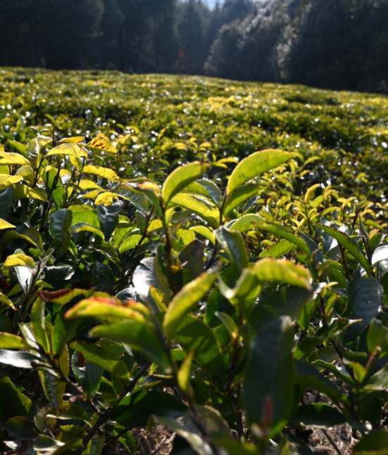
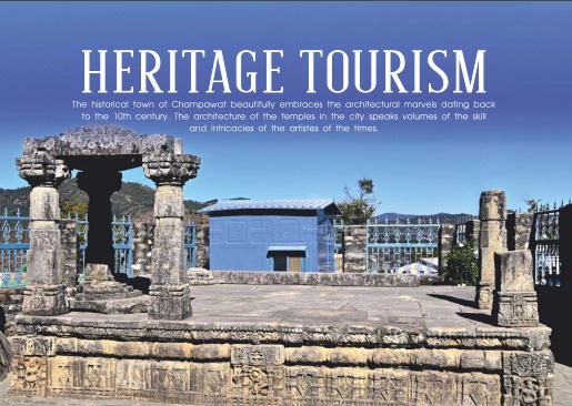
Champawat is a region steeped in history and heritage, with a wealth of attractions for tourists and history buffs alike. From its ancient temples and monuments to its lush tea plantations, this district is a must-visit for anyone interested in exploring the rich history and cultural heritage of Uttarakhand. The historical pillars, monuments, rest houses, manuscripts, archaeological collections, and folklore are testimony to the historical significance of Champawat. Over the years, different dynasties have ruled the area, including the Chand dynasty and the British Empire, leaving behind significant remnants of their respective reigns that now serve as tourist attractions.

Embark on a virtual journey through the scenic landscapes and historic landmarks of Champawat. Explore ancient temples, panoramic mountain views, and the town's vibrant culture—all from the comfort of your home. Dive into the beauty and heritage of Champawat, and let the charm of this Himalayan gem inspire your next adventure.
Explore Virtual Tour

Explore the hidden gems of Champawat, where history, nature, and spirituality converge. From ancient temples and majestic forts to tranquil lakes and verdant landscapes, each destination tells a story of its own. Whether you're seeking adventure or serenity, Champawat's diverse attractions promise an unforgettable experience amidst the beauty of the Himalayas.
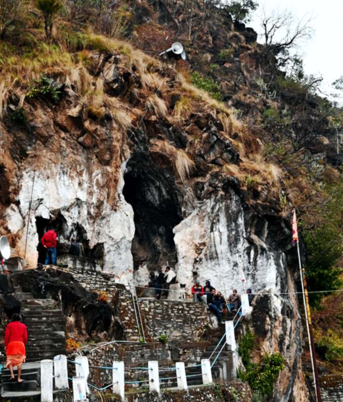
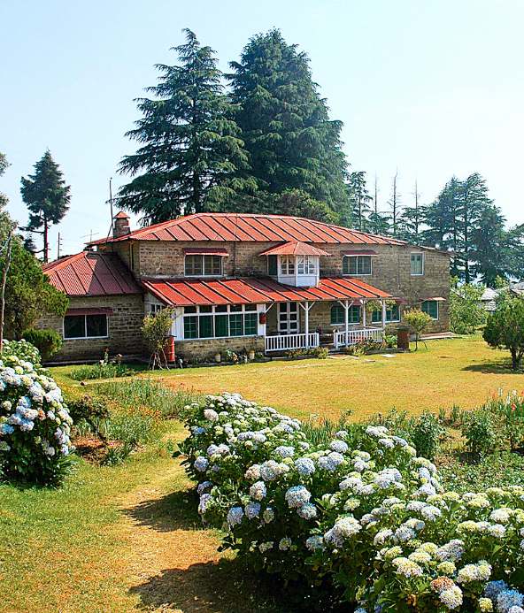
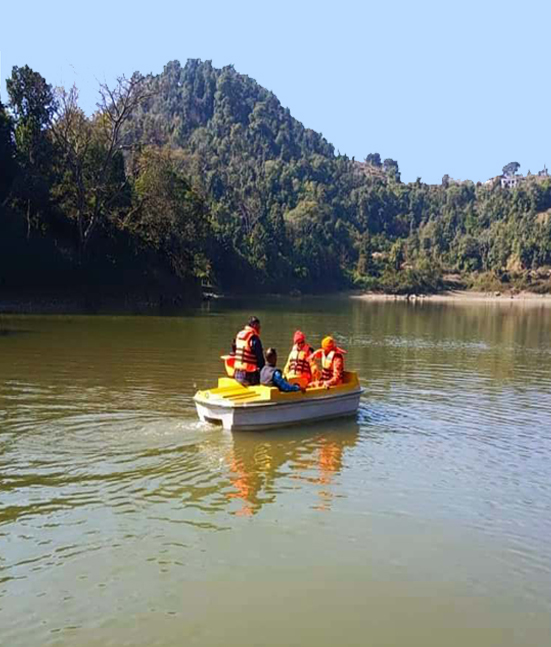
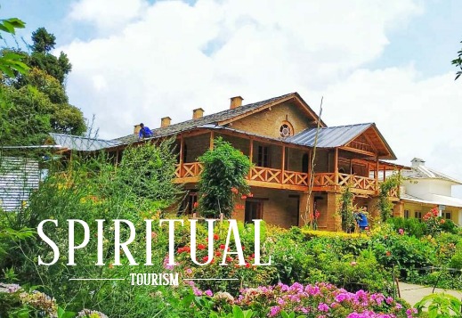
Champawat is a destination that caters to diverse interests, including nature lovers, spiritual seekers, and history enthusiasts. In addition to ancient rituals and traditions at temples and villages, Champawat offers remnants of historical forts, naula's, and caves of cultural significance, as well as idyllic natural beauty and spiritual spaces such as Abbott Mount, Shyamla Tal, Advaita Ashram, and Nandhaur Wildlife Sanctuary. Champawat also features new adventure tourism spots catering to paragliders, paramotorists, open-air aircraft riders, anglers, and rafters, making it a destination for visitors of all ages and backgrounds.
Champawat has been graced by the presence of iconic figures who left an indelible mark on its history. From the legendary Edward Jim Corbett, known for his wildlife conservation efforts, to spiritual luminaries like Swami Vivekananda, Guru Nanak Dev Ji, and Guru Gorakhnath, these revered personalities found inspiration in Champawat’s serene landscapes and spiritual aura. Their visits continue to enrich the region's legacy, drawing countless admirers and seekers to this day.
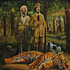
Jim Corbett, a famous hunter, conservationist, and author, played a crucial role in saving countless human lives...
Learn More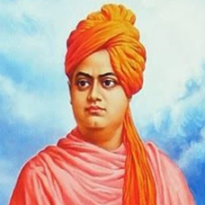
Swami Vivekananda, a disciple of Sri Ramakrishna, embarked on a spiritual journey through Uttarakhand with his student...
Learn More
Guru Nanak Dev Ji, the first Sikh Guru, embarked on spiritual journeys called Udasis, traversing through...
Learn More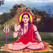
Guru Gorakhnath Ji was a revered Hindu saint and yogi who lived in the 11th century. He was the founder of...
Learn More
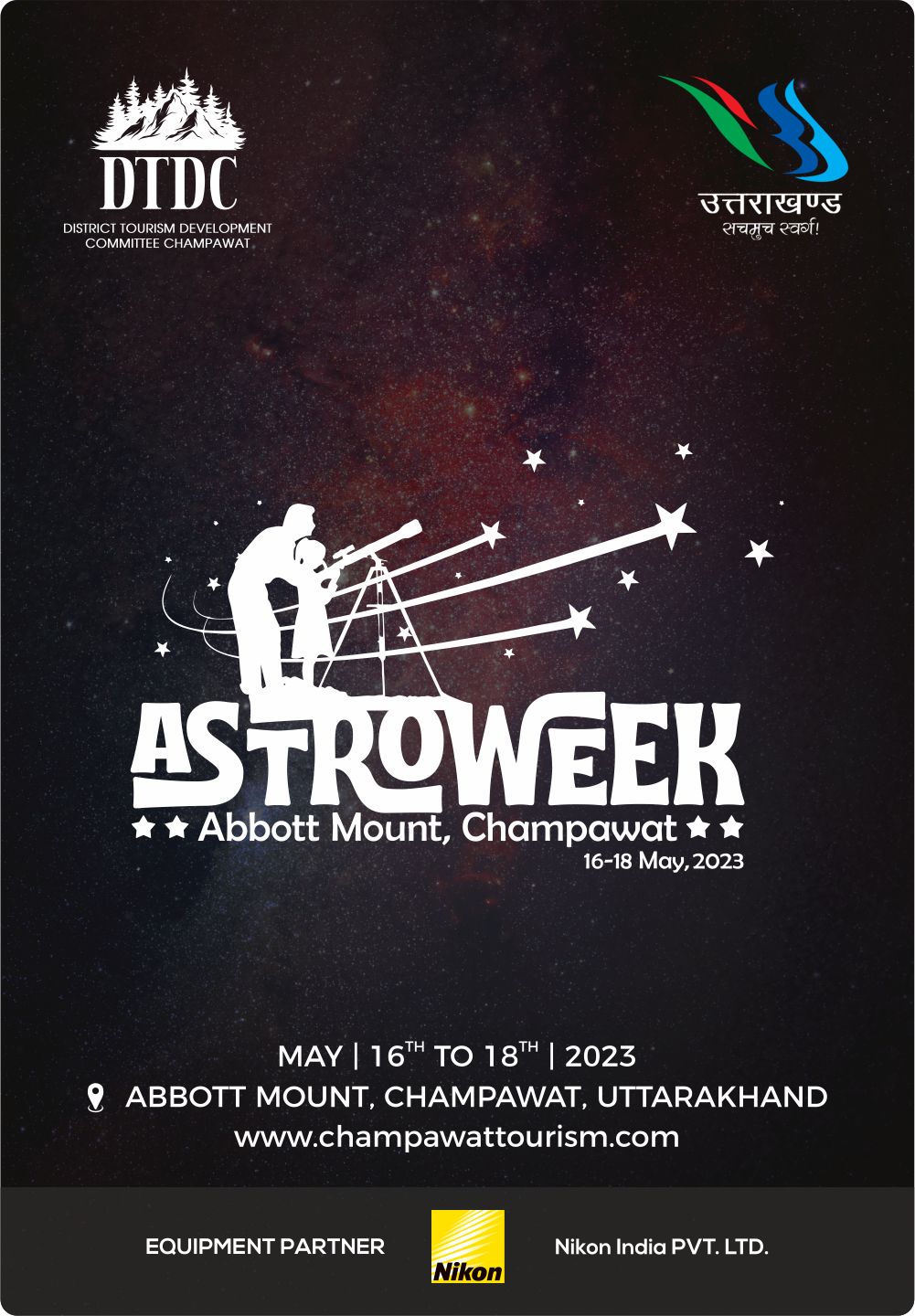
Date: 4-6 April 2025
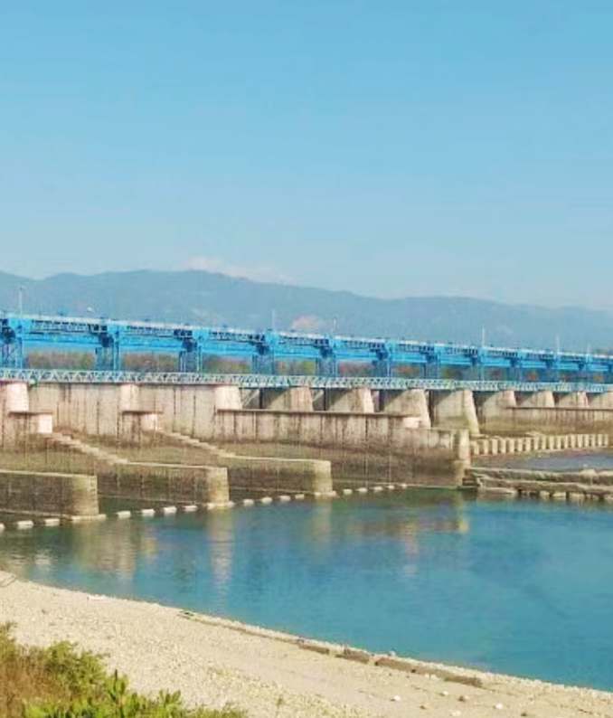
Location: Pancheshwar, Champawat, Uttarakhand
know More